Microsoft Building Footprints
https://www.microsoft.com/en-us/maps/bing-maps/building-footprints
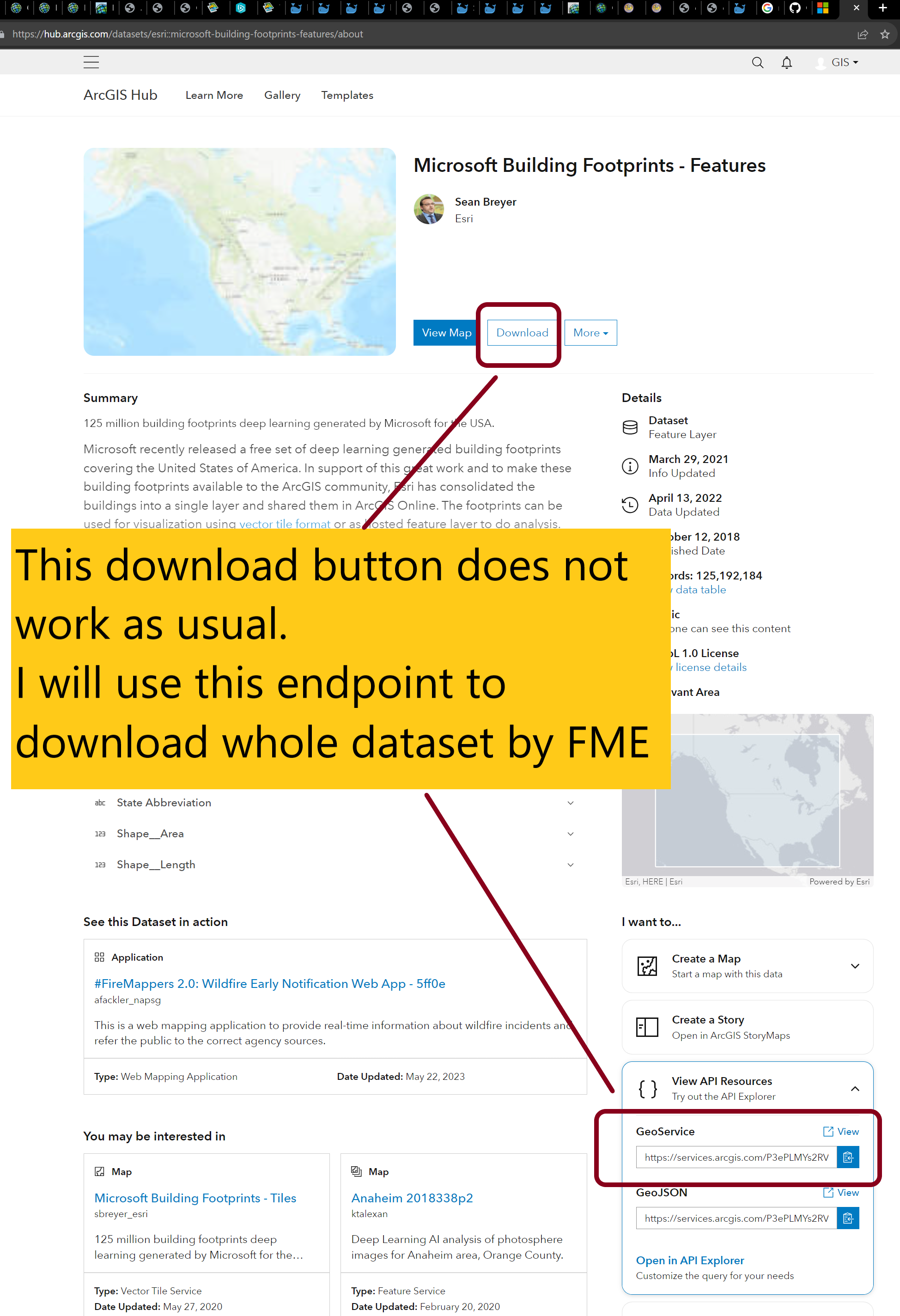
ESRI hosted Arcgis REST api endpoint ( feature service )
https://hub.arcgis.com/datasets/esri::microsoft-building-footprints-features/about
GitHub download
https://github.com/microsoft/USBuildingFootprints
Here is how?
Total 129 million buildings for 50 states is too many features, ArcPro will run out of memory.
Download california only for 11 million buildings, 3.5GB size in geojson format. https://github.com/microsoft/USBuildingFootprints
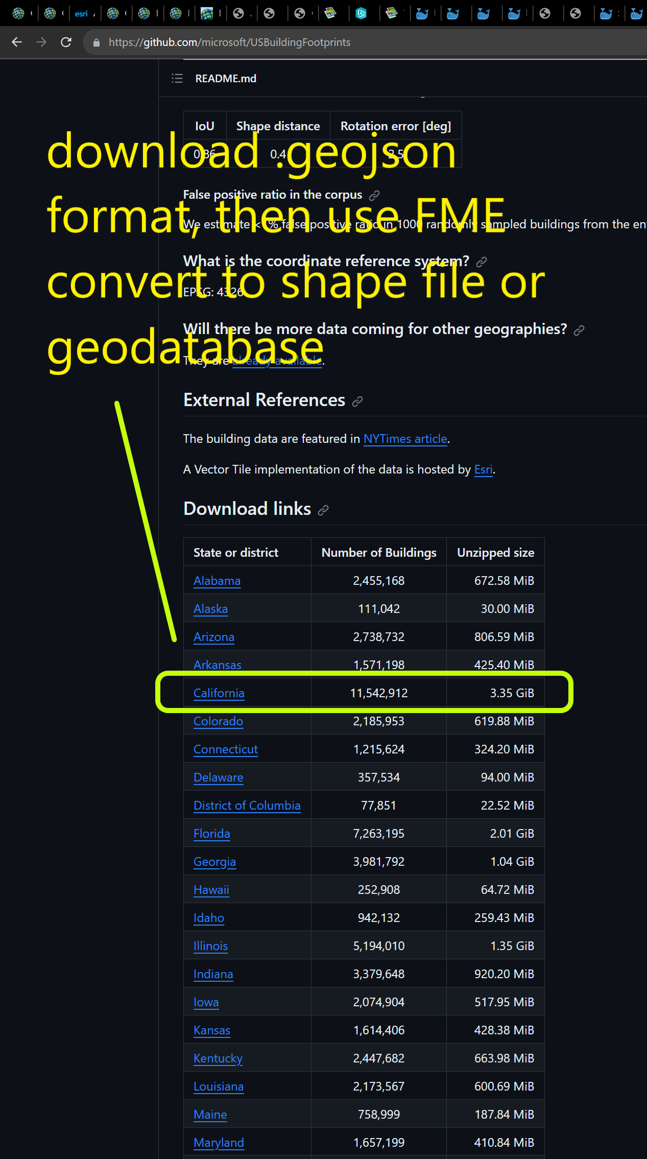
Use FME to convert california 11 millions buildings from geojson format into ESRI file geodatabase. FME take 1 hour to read and write 11 millions polygons.

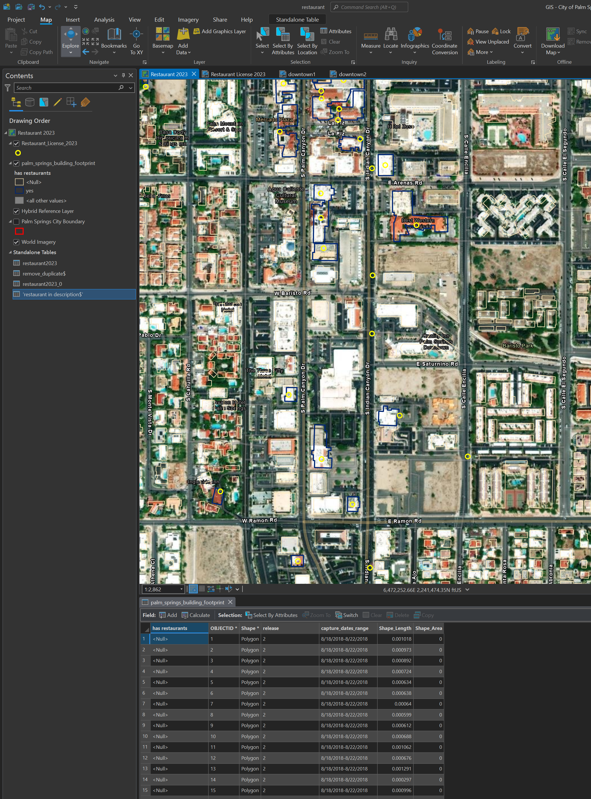
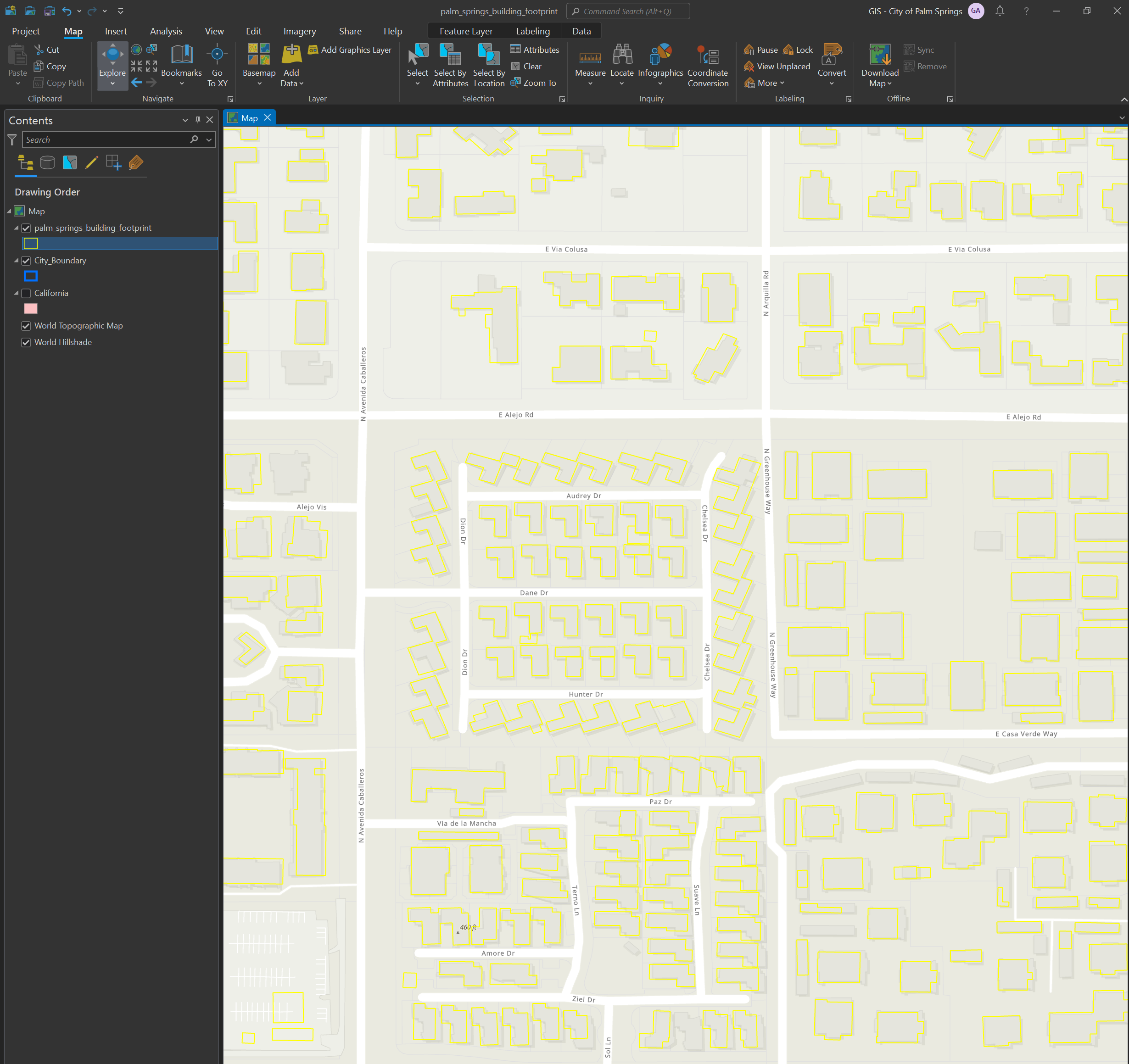
I only need palm springs buildings, now filter 11 million california buildings, find the polygon that intersect with palm springs city limits. Total is 21k buildings (missing some buildings due to microsoft collect data from several years ago, the newly build buildings are missing )
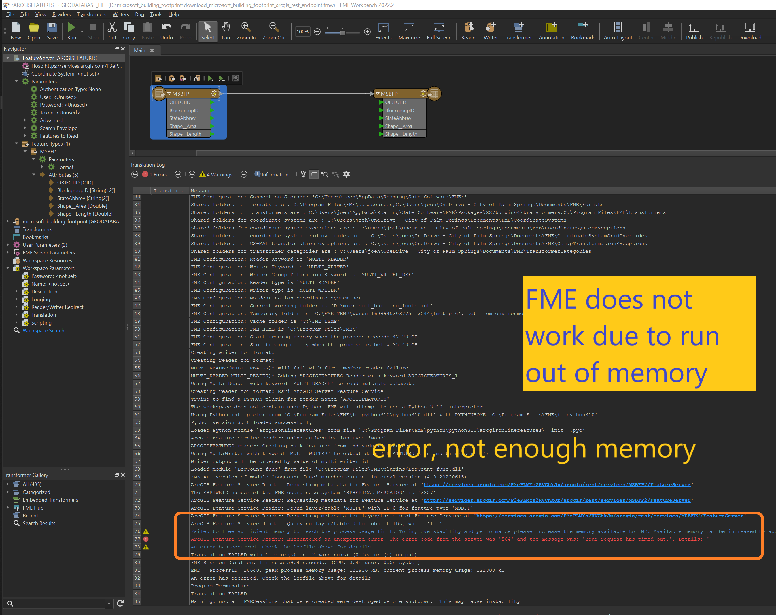
Do not try to use FME download Arcgis Server Feature Service endpoint ( ESRI's REST service endpoint does not work) See error
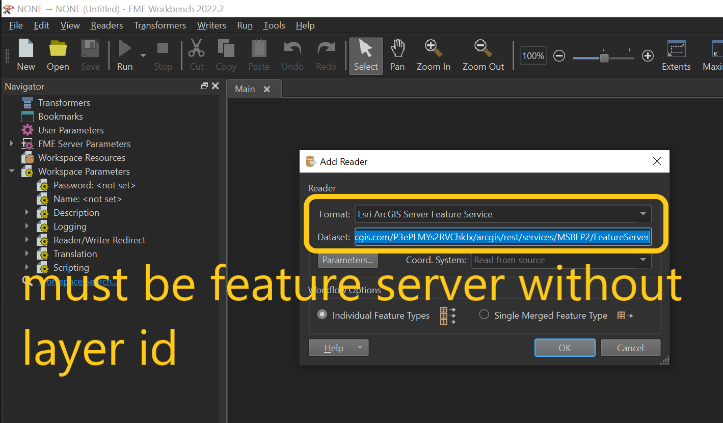
https://services.arcgis.com/P3ePLMYs2RVChkJx/arcgis/rest/services/MSBFP2/FeatureServer
FME reader, use Arcgis Server Feature Service, URL use this one
https://services.arcgis.com/P3ePLMYs2RVChkJx/arcgis/rest/services/MSBFP2/FeatureServer


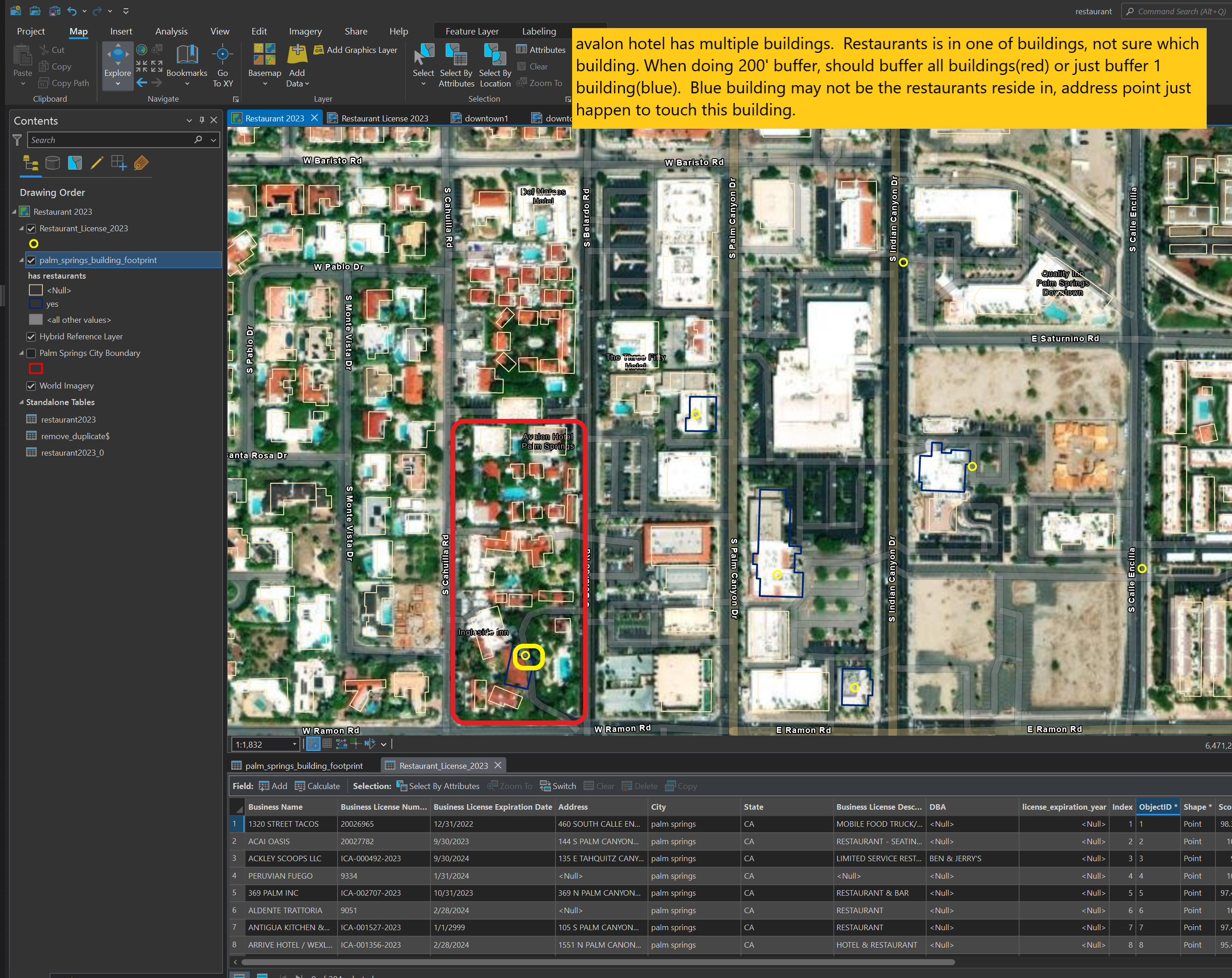
Why I need building foot print instead of address point at all?
When doing a 100 feet buffer, building foot print will give a much more accurate buffer edge of building.
For a big hotel complex, 100 feet buffer of address point is not even cover the building its self, make no sense of buffer.
