USGS public land database pad collecting public land data from 50 stats 11 federal agencies annually.
However this most comprehensive public land geodatabase lack of omni search.
Assuming I am a public user, don't know who is ESRI, I want to search or browsing all US Army engineering corp owned public land.
I go to this website, but there is no 'google search like button' to allow me to get what I want.
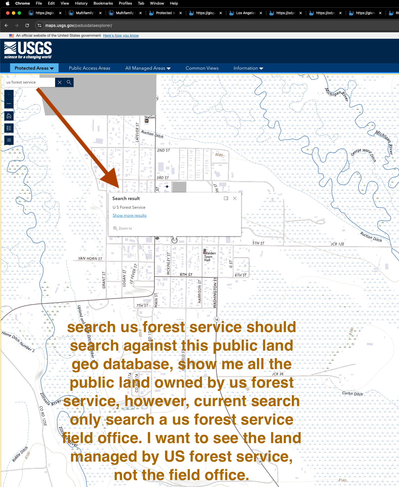
I want to see all land owned by US forest service, I can't because I have no idea about how to use these ESRI button widget legend layer frame. These are for professional gis users, not for public user who don't know never heard of ESRI.
However these don't know who is ESRI users are real majority of users who really want to get the most out of this land database.
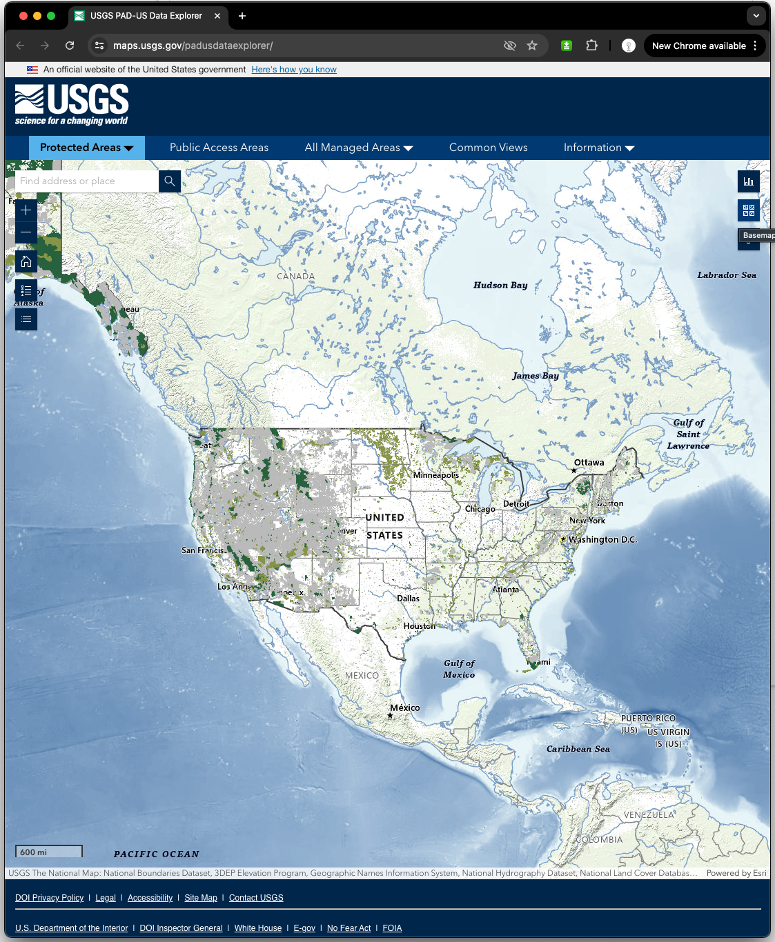
Here is official US public land database map.
https://maps.usgs.gov/padusdataexplorer/
keep in mind this geo database is so complex, it use domain, does not use subtype, it has so many fields, even GIS professional still take a months to learn about it, public user don't have time to learn, no where to learn how to use it. They want to use it as use google map. For example, they want to find tire shop near them, they go to google map, search tire shop, done.
But they can't do it on public land database so far.
The search button at left corner is only for search address or place, provided by ESRI. Does not search public land geo database at all.
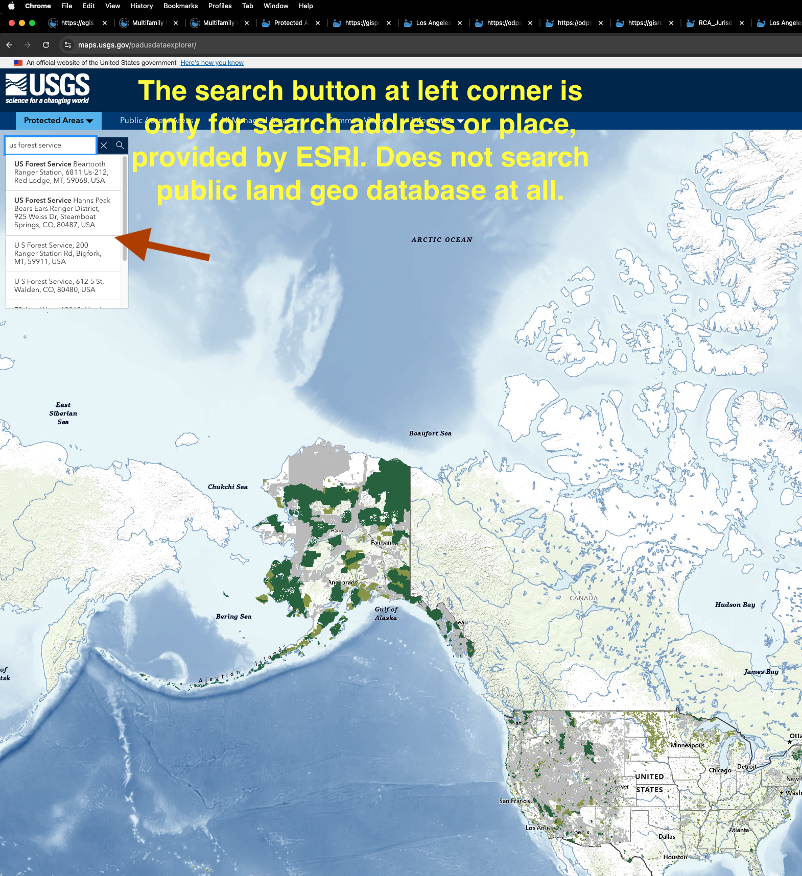
search us forest service should search against this public land geo database, show me all the public land owned by us forest service, however, current search only search a us forest service field office. I want to see the land managed by US forest service, not the field office.