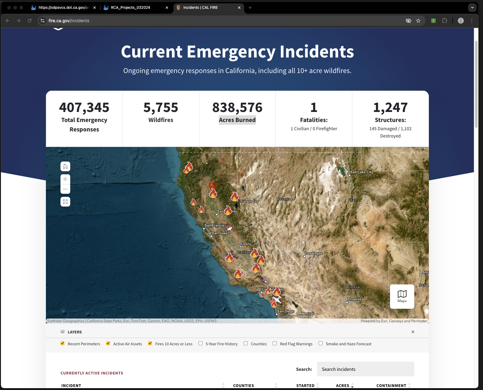
Calfire has a mind blowing design,
Don't use ESRI's COTS ( dashboard, experience builder, web appbuilder)
https://www.fire.ca.gov/incidents

To avoid ESRI's COTS ( dashboard, experience builder, web appbuilder)
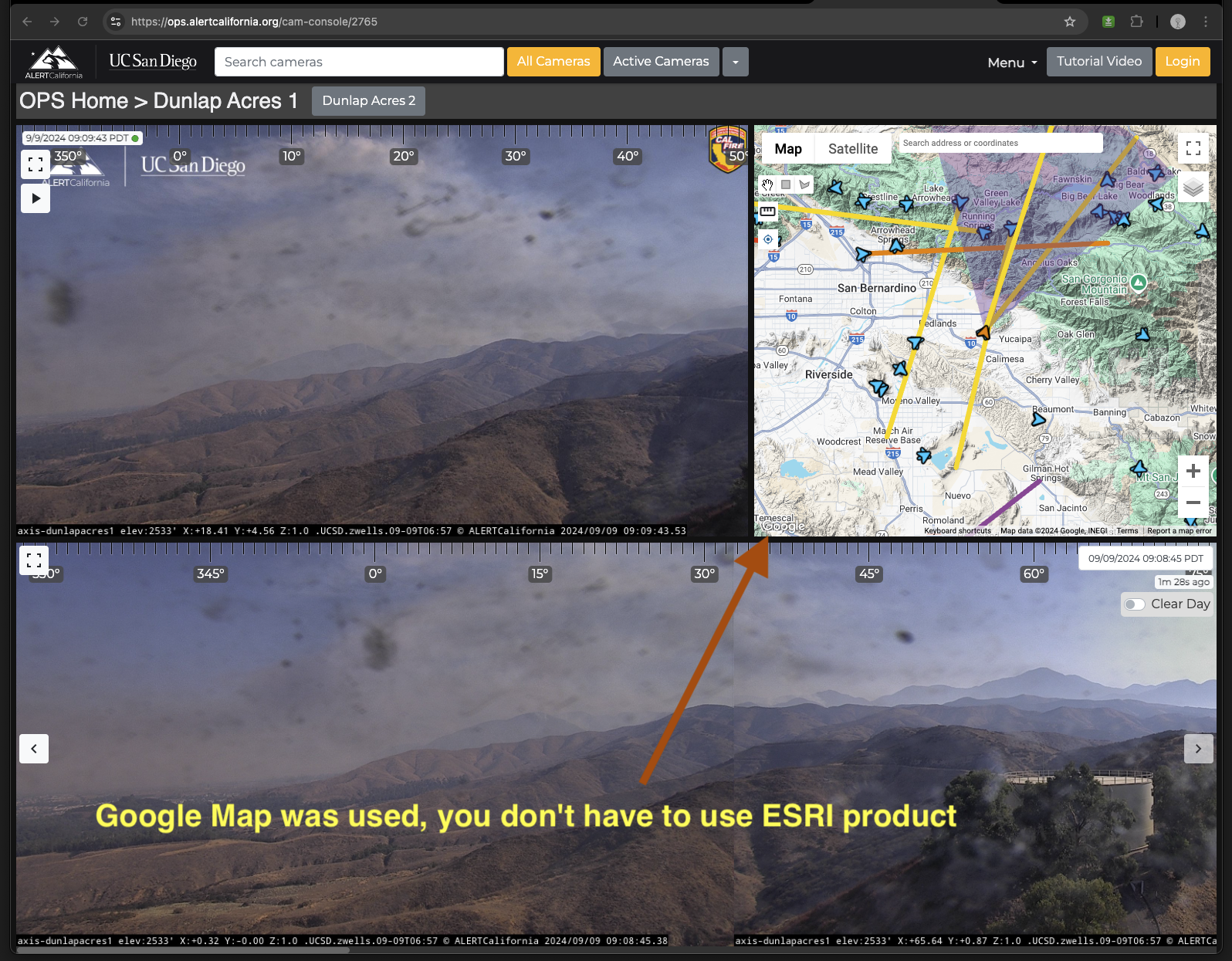
Yes, you don't have to use ESRI COTS, you can use google map for sure, here is a good example:
https://ops.alertcalifornia.org/cam-console/2765
 This map just showing simple point, line and triangle, small amount of data, with simple shape, you can completely use google map for sure. Google map even better than ESRI product in such case.
My boss has 10k+ point and lines, you can use combine of google map and ESRI product. I mean on geodatabase, server side, definitely use ESRI product, like portal, online, arcgis server, REST API, while on the browser client side, you have option of use ESRI map or Google Map on your website. You could have both Google map and ESRI map on web page. Depending on your need, you don't have to choose ESRI, you do have other options all the time.