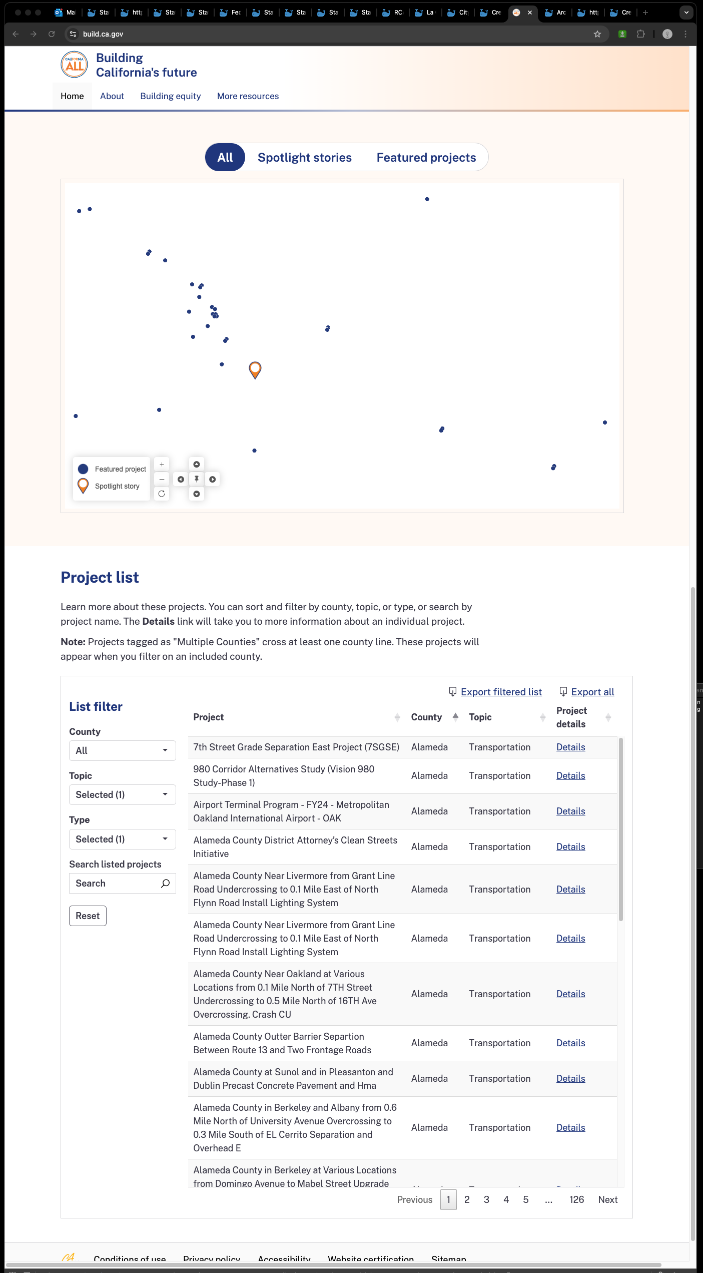
Absolutely mind blowing map design in terms of easy to use, intuitive to use, simplicity
This is NOT ESRI's off the shelf product,
NOT ESRI's dashboard,
NOT ESRI's experience builder,
NOT ESRI's web appbuilder
https://build.ca.gov/

How it works ?
use ESRI's vector tile
https://vectortileservices3.arcgis.com/uknczv4rpevve42E/arcgis/rest/services
Note vector tile only show you picture, does not carry attribute dafa.
When you click a point, it popup a window tell you attribute data attach to this point, this information is not carry by vector tile as of 2024.
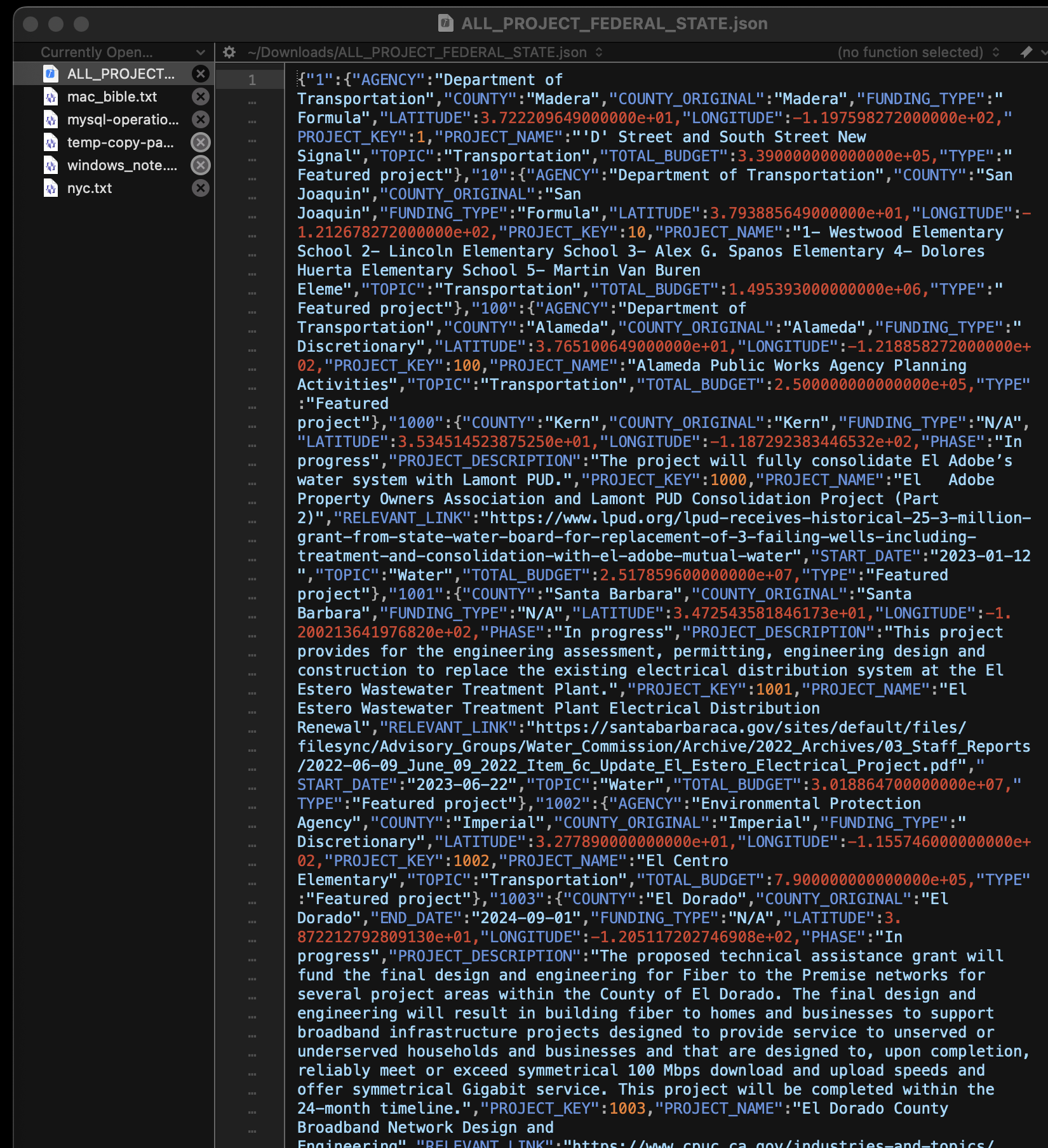
Instead, attribute info data is from static JSON file, which can be found here
All project data is in json format,can be download by you by click here
https://data.build.ca.gov/infrastructure/ALL_PROJECT_FEDERAL_STATE.json
it does not use Arcgis server REST api endpoint, means, it is static data.
Every project point has lat and long in JSON file.
