To review overlapped floor unit,
Neither ESRI map image layer nor ESRI feature layer let you see it.
The reason is because ESRI mapImageLayer and ESRI featureLayer combined all floor unit polygon into single layer output to your screen. In fact, all floor unit is in single unit layer, they just overlapped.
What you see is toppest floor plan block all underneath floor plan.
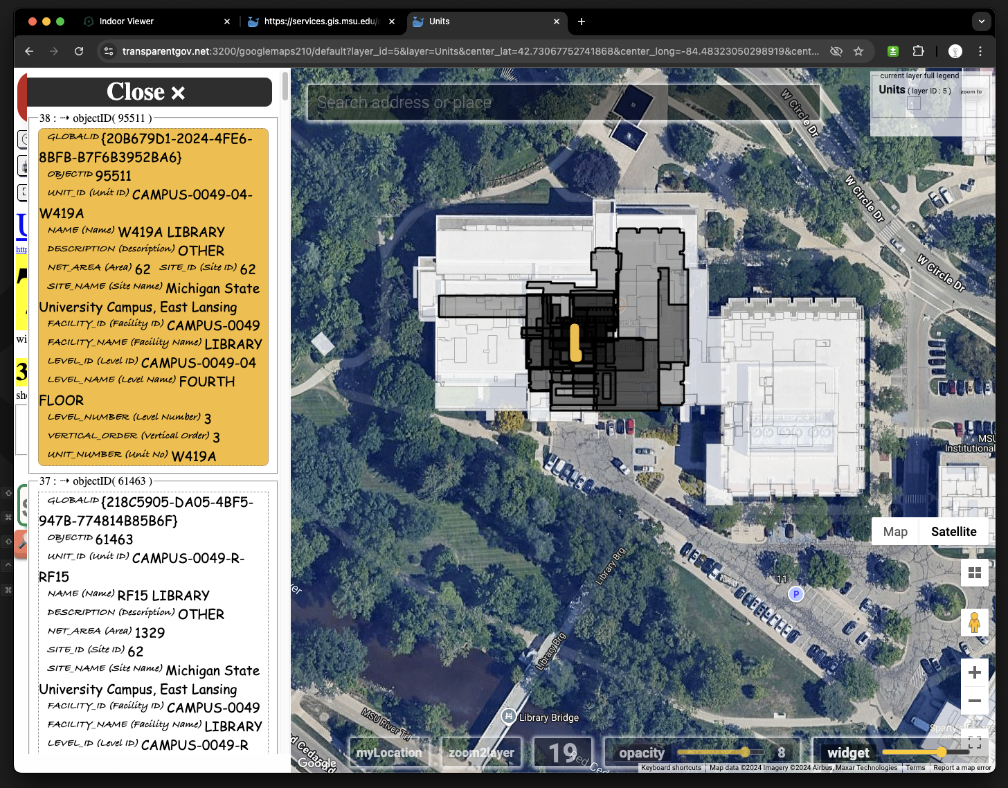
See below sample, if you don't click the building, the original light gray color is combined of 7 floor plan, they are all same color, you can't tell the deep level structure.
In order to review different level of unit in this single unit layer, I developped this new overlap-identifier tool, specially for arcgis indoor map use, to explode each floor. If you click any building, you will see different color means different level of floor unit overlapping.
The darker means more overlapping
Click any building, toggle different floor level by click left panel popup
https://transparentgov.net:3200/googlemaps210/default?layer_id=5&layer=Units¢er_lat=42.73067752741868¢er_long=-84.48323050298919¢er_zoom=19&url=https%3A%2F%2Fservices.gis.msu.edu%2Fagsent04%2Frest%2Fservices%2FIndoors%2FIndoorsCorePublic_MIL%2FMapServer&overlayType=overlayType_image&panto=0

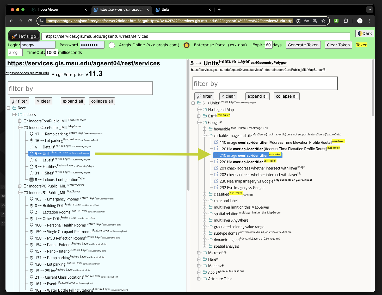
Use any overlap-identifier tool
https://transparentgov.net/json2tree/esri/server2/folder.html?org=https%3A%2F%2Fservices.gis.msu.edu%2Fagsent04%2Frest%2Fservices&url=https%3A%2F%2Fservices.gis.msu.edu%2Fagsent04%2Frest%2Fservices&arcgis_online_token=&select_folder=70&select_layer=
