There 2 options let you link support documents (such as image, PDF, etc) to feature class.
Option 1. Enable attachments
Warning: Enable attachments on a feature class can cost you some storage credit pay to ESRI, depends on whether you use ESRI server (arcgis online) or use your own enterprise portal server.
Option 2. Save image url in attribute table, it will popup when user click a feature class.
Warning: ESRI don't support link in popup by default. ( Be aware of ESRI does provide HTML-popUp which does support link, but you have to configure it that way in your apps). You can save image URL as html image tag img in attribute table.
So what is the difference ?
If you attach image to each feature point, your image will upload and saved in Arcgis server, you can access your image by arcgis rest api, you can use for example arcgis instant app to access you image withou coding, just a few click to set it up. ( ESRI recommended ) you have to pay ESRI storage credit if you use AGOL.
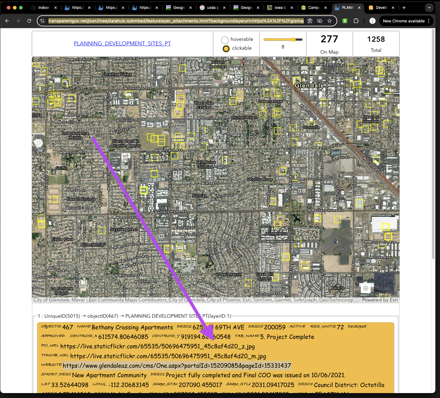
Like this sample, if you don't attach image to feature point, you have to save image URL in attribute table like this sample. Also you have to upload your image manually to other web server for example flickr.com like this sample. Your image will not by access by arcgis REST api, you have to customize by writting code to let you app access your image. ESRI Not recommended since you would not pay ESRIYou still need to pay flickr.com for storage credit. Or you can use share point to store your image for free.
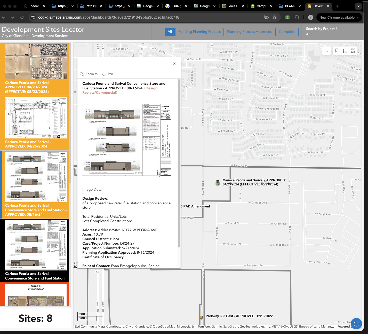
This customized dashboard app, each development site point have 2 image asscociated with it.
However we don't use ESRI feature layer attachments, we just store the image url in each feature attribute table.
https://cog-gis.maps.arcgis.com/apps/dashboards/3da6ad72191349bba302cecfd7acb4f8

Each development site point have 2 image asscociated with it.
However we don't use ESRI feature layer attachments, we just store the image url in each feature attribute table.
https://transparentgov.net/json2tree/datahub.io/embed/featurelayer_attachments.html?backgroundlayerurl=https%3A%2F%2Fgismaps.glendaleaz.com%2Fgisserver%2Frest%2Fservices%2FPlanning%2FPlanning_Development_Sites%2FFeatureServer%2F1&layer=PLANNING_DEVELOPMENT_SITES_PT&clickorhover=click

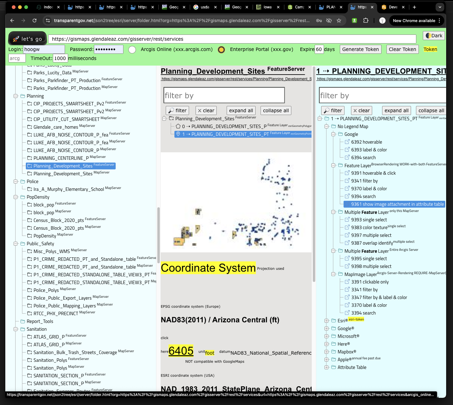
https://transparentgov.net/json2tree/esri/server/folder.html?org=https%3A%2F%2Fgismaps.glendaleaz.com%2Fgisserver%2Frest%2Fservices&url=https%3A%2F%2Fgismaps.glendaleaz.com%2Fgisserver%2Frest%2Fservices&arcgis_online_token=&select_folder=161&select_layer=1
