More and more organization choose upload their GIS data to ESRI's hosted service.
ESRI's cloud computing is not free, it has monthly payment depending on the size of your data.
The good:
1). Save the cost to buy and maintain your own gis server.
2). Speed is much faster than your server. Reason is everything is in ESRI cloud. ESRI rent very fast Amazon Server provide you very fast speed. Your internet service provider, spectrum, AT&T, frontier, etc.... normally can't beat Amazon, unless you pay your ISP higher price.
The bad:
As of 2025, ESRI hosted service does not provide mapping service, only provide feature service.
What different between mapping service and feature service is :
Mapping service can generate image in PNG, JPEG format. Multiple layers could show on this image.
Feature service can not generate image like that.
Feature service only generate data, in json format, compress to PBF, send to you. These data have the lat, lng value of each point of polygon. Your browser will based on these lat, lng value to draw a polygon.
Mapping service image is different, polygon image is already generated on remote Arcgis server mapping service. They send the png, jpeg image file directly to your browser.
Mapping service have both capability to generate data and image.
Feature service missing image capability, left with only data capability.
Tile service is another topic.
Because tile dataset usually very large, a few GB to 10s of GB, depending your jurisdiction area.
To save money, you better store these tiles on your own server. ESRI hosted service can store tiles for your at a storage rate. Check today's rate at ESRI to estimate your monthly payment.
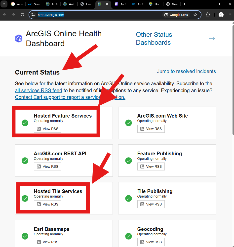
If you choose to upload all your GIS dataset to ESRI cloud computing. Even it is rare, but you still can check whether your data service is up or down through here.
https://status.arcgis.com/