Warning: On google map you of course can click a business name to find address, but lat lng will not be provided. However the business address information can not pass into ESRI network analysis server instantly. 911 dispatcher need input manually. This is not going to work. 911 CAD software need input a business name then instantly pull all information to create the route automatically. Therefore you need to get business information into ESRI database ahead of time for ESRI routing software to work. You can't get lat-lng if you manually click business on Google map. This lat-lng is ESRI routing software needed.
Step 1.
most of common place ( point of interest POI ) are private business. County assessor office does not have or maintain any of these private business.
When 911 caller report a private business name, dispatch software need to know this business's location, both address and or lat - lng.
Routing software, esri network analysis extension will based on location to create a route for officer to get there.
Step 2.
Where to get POI ? Google map, Microsoft azure map, esri location plateform, here map, yelp all saling POI for a cost.
Step 3.
I personally like Google POI, it cost the most, but what you get is what you pay.
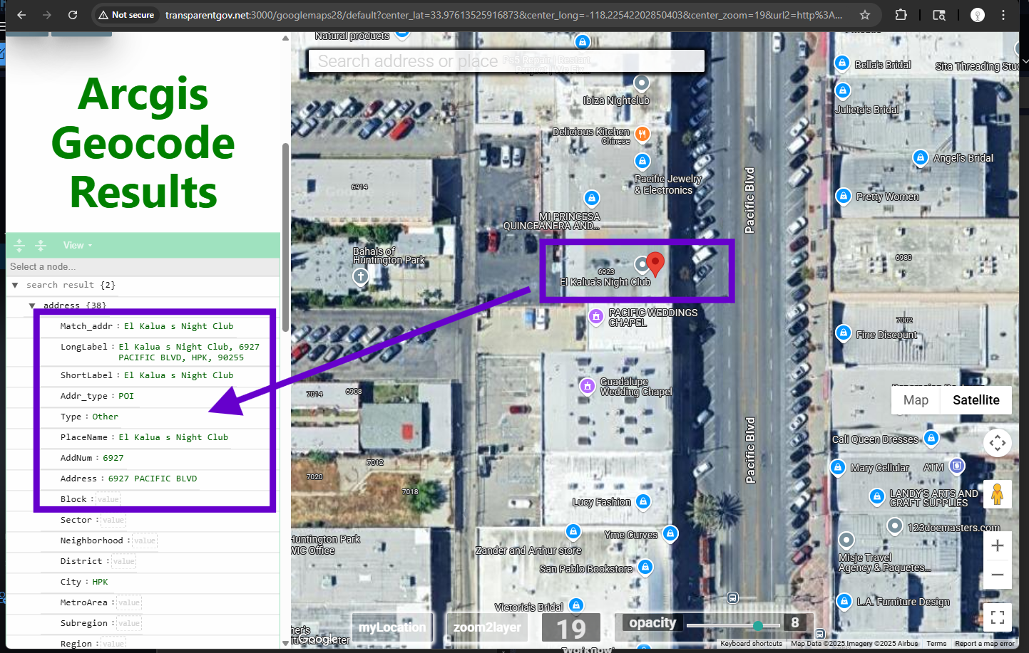
This is google POI combined with ESRI POI,
This is the ESRI Geocode server runing on Google POI combined with ESRI POI,
To test it, you can click any store name, ESRI geocode server will return correct business name and address.
These business name and address and lat-lng information will be further flow down stream to ESRI network analysis server NA-server.
NA-server will generate route for officer.
Step 4.
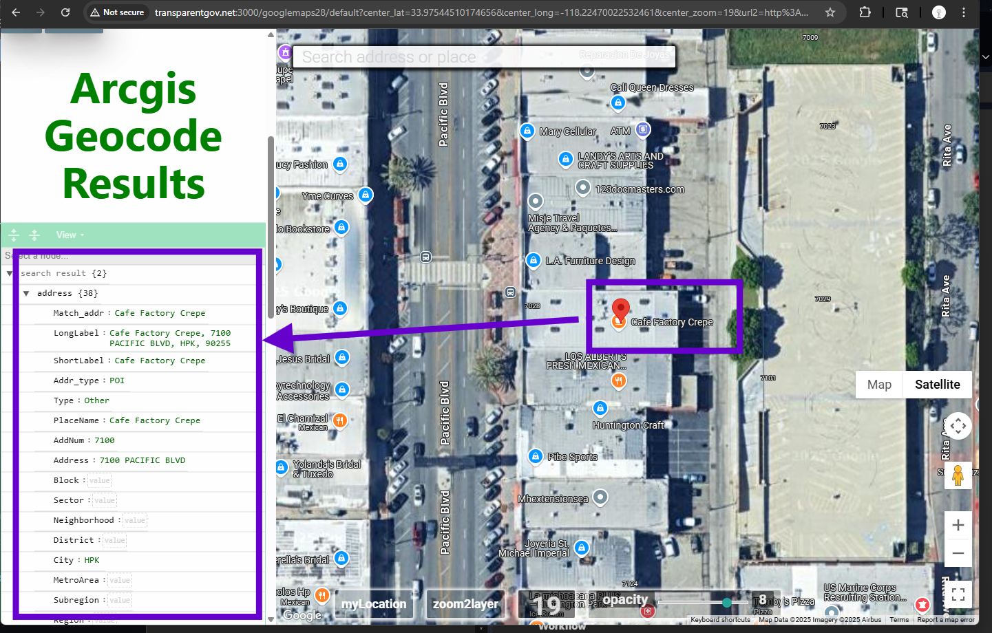
Test another store
Step 5.
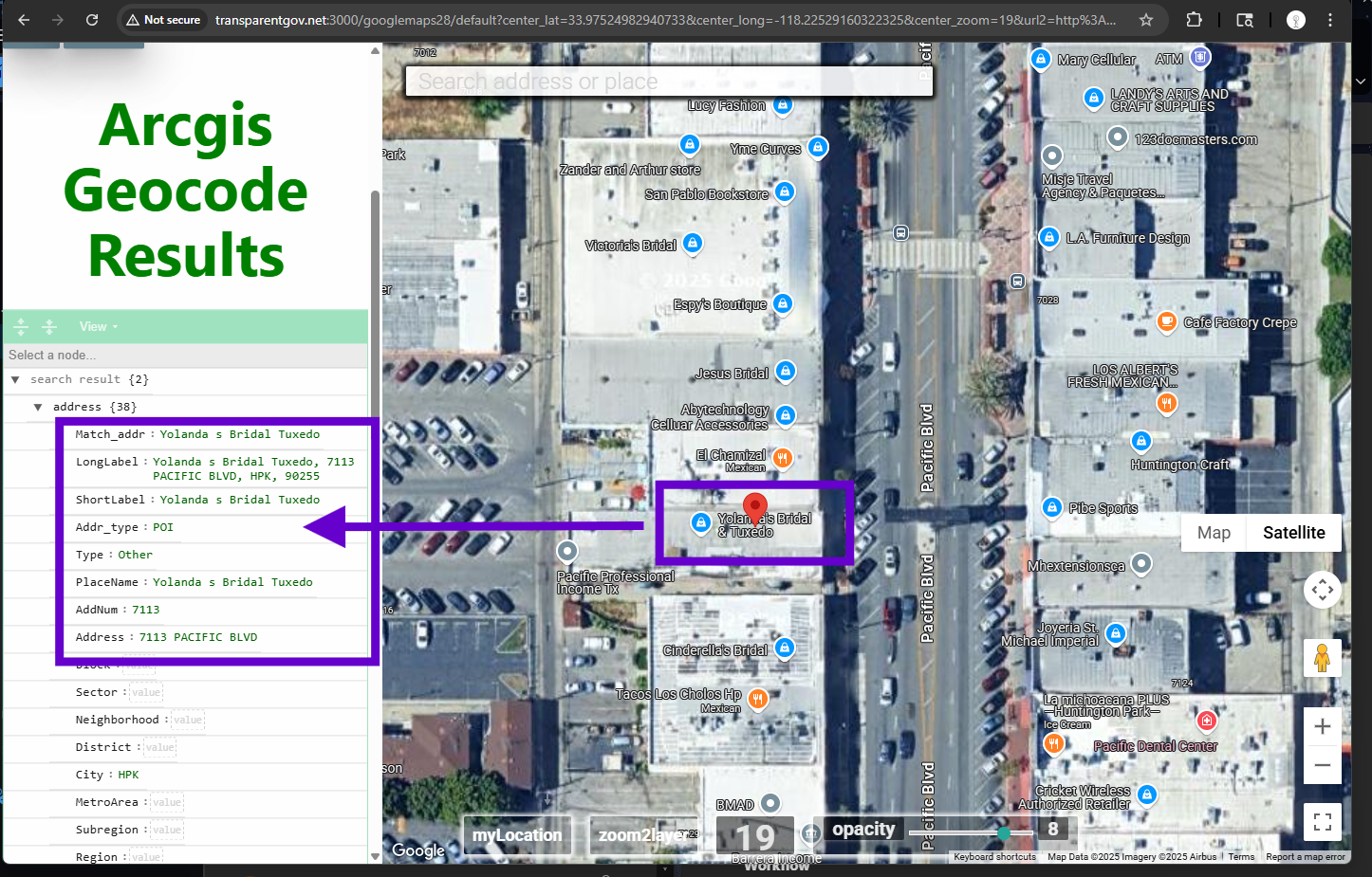
Test another store, as long as google map shows business, you can find in ESRI database.
Step 6.
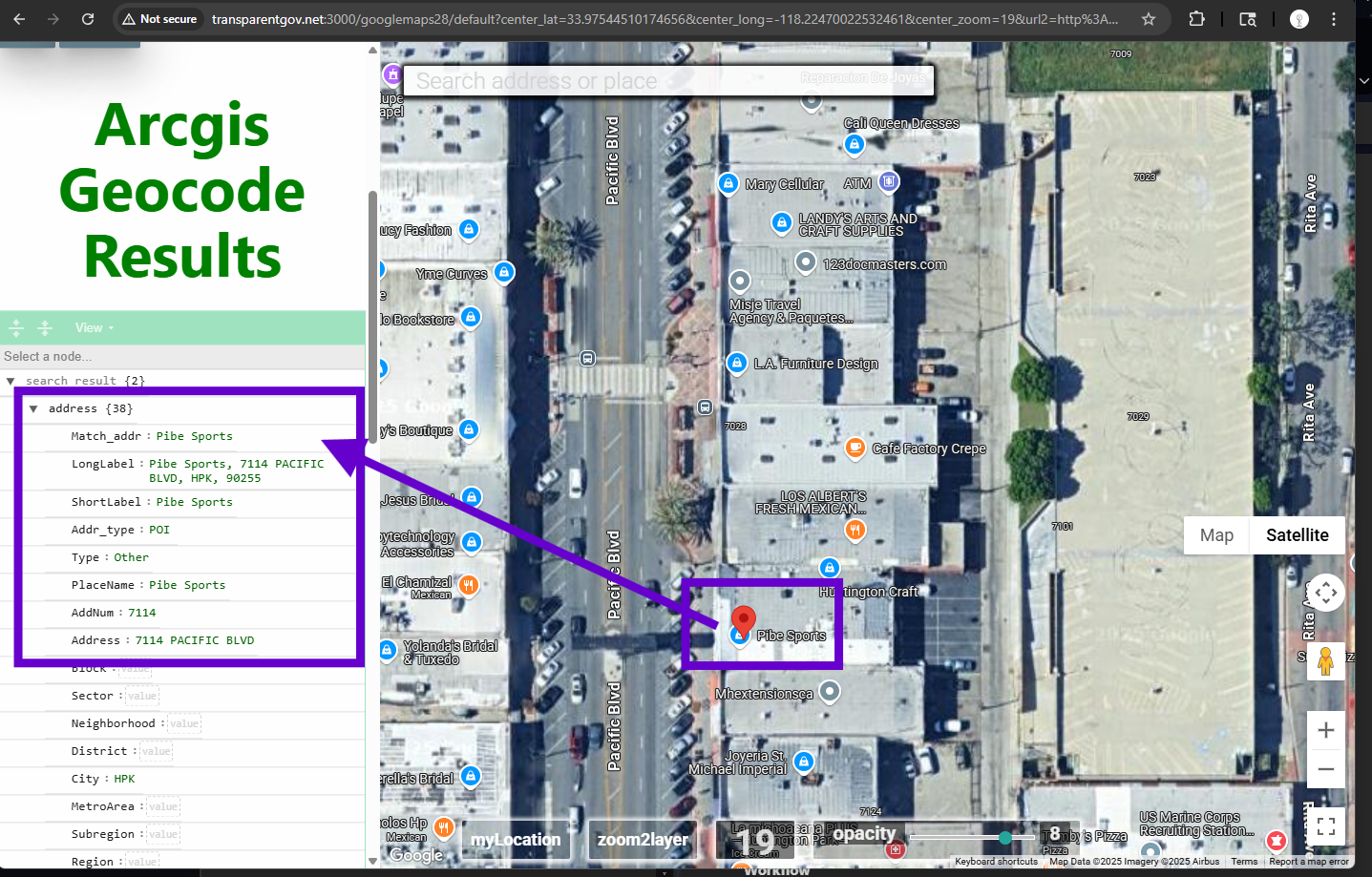
Test another store, as long as you can find on google map, you can locate it in ESRI 911 database.
Beside that, I also add yelp POI, esri POI, microsoft POI to make it includes more things possible.